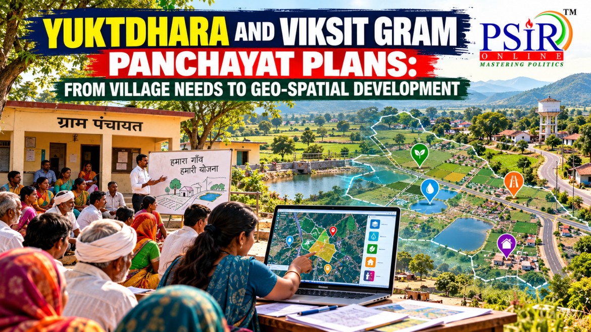
Rural development planning is most effective when it reflects the actual needs of villages rather than relying exclusively on standardised administrative targets. A village may need water-conservation structures, another may require better rural connectivity, while a third may prioritise livelihood infrastructure or protection against climate-related risks. Identifying these needs requires both community participation and reliable information about local conditions.
The Viksit Gram Panchayat Plan (VGPP) under the Viksit Bharat–Guarantee for Rozgar and Ajeevika Mission (Gramin), or VB–G RAM G, seeks to strengthen this process through decentralised planning. The Yuktdhara GIS planning tool supports the preparation of these plans by providing geospatial information and analytical inputs to identify, assess and prioritise permissible works.
Under Section 16 of the VB–G RAM G Act, 2025, every Gram Panchayat is required to prepare a Viksit Gram Panchayat Plan through a participatory planning process. The Ministry of Rural Development explained the framework in a release dated 28 July 2026.
The initiative brings together three elements: community priorities, scientific planning and administrative coordination. Its success will depend on whether geospatial technology strengthens local decision-making rather than replacing it.
WHAT ARE VIKSIT GRAM PANCHAYAT PLANS?
A Viksit Gram Panchayat Plan is a comprehensive village-level development plan that identifies and prioritises permissible works according to local needs, development gaps and the applicable statutory framework.
The Gram Sabha plays a central role in identifying and prioritising the works required for the development of the Gram Panchayat. The Gram Panchayat then prepares the plan in accordance with the provisions of the VB–G RAM G Act.
The planning framework emphasises the creation of productive and durable rural assets in areas such as:
· Water security: Water conservation, watershed-related works and measures to improve local water availability.
· Core rural infrastructure: Eligible infrastructure that supports village development and essential needs.
· Livelihood-related infrastructure: Assets that support agricultural and other rural livelihood activities.
· Disaster resilience: Permissible works intended to mitigate the impacts of extreme weather events and disasters.
These categories connect rural employment with the creation of assets that can support communities beyond the period in which the work is undertaken.
The VGPP is therefore more than an annual list of projects. It is intended to provide a structured basis for identifying development gaps, prioritising eligible works and coordinating implementation across different levels of government.
However, not every work proposed by a village can automatically be funded under VB–G RAM G. Proposed activities must fall within the permissible categories and comply with the relevant legal, technical and administrative requirements.
HOW YUKTDHARA SUPPORTS SCIENTIFIC PLANNING
Yuktdhara is a geospatial planning portal developed through collaboration between the National Remote Sensing Centre (NRSC) of the Indian Space Research Organisation (ISRO) and the rural development administration. It was originally developed to facilitate Gram Panchayat-level planning of Mahatma Gandhi National Rural Employment Guarantee Scheme activities and has been incorporated into the planning framework for VGPPs.
The portal uses geospatial information and analytical tools to help authorised functionaries understand the physical characteristics of a village, identify development gaps and assess the suitability of locations for proposed works.
Its planning support includes satellite-derived information, terrain and thematic layers, the locations of existing assets and other relevant spatial information. The wider VGPP framework also envisages the use of PM Gati Shakti and other departmental data to support integrated planning.
For example, a Gram Panchayat considering water-conservation works needs to understand local terrain, drainage patterns, existing water structures and areas where additional interventions may be required. Geospatial information can help planners examine these factors together rather than selecting sites solely on the basis of informal observations.
Similarly, mapping existing infrastructure can help identify gaps and reduce the risk of proposing unnecessary duplication of assets.
The planning process can be understood through the following sequence:
|
PLANNING STAGE |
ROLE OF COMMUNITY PARTICIPATION AND GEOSPATIAL INFORMATION |
|
Identification of needs |
Gram Sabha discussions identify local priorities and development problems. |
|
Assessment of existing assets |
Maps and spatial data help identify existing infrastructure and geographical conditions. |
|
Identification of gaps |
Planners assess where additional permissible works may be needed. |
|
Prioritisation of works |
Community priorities, technical suitability and statutory requirements inform the selection of works. |
|
Preparation of VGPP |
The Gram Panchayat incorporates eligible and prioritised works into the village plan. |
|
Consolidation and coordination |
Approved plans are consolidated at the Intermediate and District Panchayat levels. |
Yuktdhara supports planning; it does not independently decide what a village needs. Technical information must be combined with local knowledge, community priorities and the applicable rules governing permissible works.
FROM GRAM SABHA PRIORITIES TO BLOCK AND DISTRICT PLANS
One of the most important features of the VGPP framework is the connection between decentralised planning and coordination across administrative levels.
The Gram Sabha provides the forum through which village-level needs can be discussed and prioritised. The Gram Panchayat prepares the plan, while the approved plans are consolidated at the Intermediate and District Panchayat levels to develop broader Block and District Plans.
This process is intended to connect local priorities with wider development requirements and prevent village planning from becoming a collection of disconnected projects.
For instance, a village may identify the need for water-conservation works, while neighbouring villages may face related drainage or watershed-management challenges. Planning at the block and district levels can help identify opportunities for coordination across these areas.
Similarly, a rural infrastructure project may depend on complementary investments in transport, water management or livelihood facilities. Consolidated planning can help administrators identify such interdependencies.
The framework also envisages the integration of VGPPs with PM Gati Shakti, geospatial systems and broader rural infrastructure planning. Works emerging from the plans are intended to be consolidated into the Viksit Bharat National Rural Infrastructure Stack, linking local proposals with wider infrastructure priorities.
Nevertheless, consolidation should not weaken local autonomy. Higher-level coordination must preserve the legitimate priorities of Gram Sabhas while ensuring technical feasibility, statutory compliance and consistency with wider development plans.
The objective is to combine bottom-up decision-making with coordinated public investment.
CONVERGENCE OF SCHEMES AND EVIDENCE-BASED ALLOCATION
Rural development frequently involves multiple departments and funding programmes. Water conservation, agricultural support, rural infrastructure, livelihood development and disaster resilience may require coordinated action rather than isolated interventions.
The VGPP framework seeks to promote convergence by providing a common planning basis for permissible works. Instead of each programme generating an entirely separate list of activities, eligible works can be identified through the village plan and coordinated with the relevant Central, State and local schemes in accordance with the applicable framework.
Yuktdhara can contribute by helping officials understand where assets already exist, where gaps remain and where proposed interventions may complement one another.
For example, a village may identify a need for watershed-related works that support agricultural livelihoods. Geospatial analysis can assist in locating suitable sites, while coordination among relevant departments can help align technical support and funding.
This approach can improve the allocation of public resources in three ways.
First, it can reduce the duplication of assets by making existing infrastructure more visible. Second, it can help identify underserved locations and areas where investment may have greater practical value. Third, it can support the sequencing of complementary works so that individual projects contribute to a wider development objective.
However, convergence is not automatic merely because information is available on a digital platform. It requires coordination among departments, clarity about funding responsibilities, timely approvals and effective implementation.
Evidence-based planning must also account for local knowledge. Satellite imagery may reveal physical features, but it cannot independently establish every community's priorities, land-use preferences or social needs.
IMPLEMENTATION CHALLENGES AND THE WAY FORWARD
The integration of Gram Sabha planning with geospatial tools creates opportunities, but several challenges will determine whether the framework produces meaningful results.
First, the quality of participation matters. Gram Sabha meetings must provide genuine opportunities for different groups to express their needs. Women, Scheduled Castes, Scheduled Tribes, landless workers and remote settlements may have priorities that are not adequately represented unless participation is inclusive.
Second, technical capacity varies across Panchayats. Local institutions may require training to interpret geospatial information, prepare plans and assess the feasibility of proposed works. Technical assistance should complement local decision-making rather than make Panchayats dependent on external specialists for every planning decision.
Third, digital information has limitations. Satellite-derived data and mapped assets may be incomplete, outdated or insufficient to explain local conditions. Field verification is necessary before works are selected and implemented.
Fourth, land and environmental considerations require attention. Proposed works must comply with applicable land, environmental and other legal requirements. Geospatial suitability does not automatically establish legal permission or community acceptance.
Fifth, funding and implementation must follow planning. A well-prepared plan will have limited value if approved works do not receive timely administrative attention, technical clearances or appropriate funding. Monitoring should therefore track the transition from proposed works to approved projects, completed assets and actual benefits.
The way forward is to strengthen Gram Sabha participation, provide regular training to Panchayat functionaries, verify mapped information in the field and establish clear coordination arrangements across departments. Social audits and public disclosure should help communities scrutinise the selection, execution and outcomes of works.
Evaluation should examine not only the number of plans prepared but also whether priorities were incorporated fairly, assets were completed to the required standards and communities benefited from the resulting infrastructure.
UPSC ANGLES
|
Dimension |
Relevance for UPSC GS-II |
|
Constitutional decentralisation |
Connects the role of Gram Sabhas and Gram Panchayats with participatory local self-government under the 73rd Constitutional Amendment. |
|
Participatory governance |
Highlights the importance of community priorities in identifying and ranking village development needs. |
|
Digital governance |
Demonstrates how GIS, satellite information and digital planning tools can support administrative decisions. |
|
Evidence-based policy |
Shows how geospatial information can improve the identification of infrastructure gaps and the suitability of proposed works. |
|
Rural development |
Links employment-oriented works with durable assets, livelihood infrastructure and local development. |
|
Cooperative federalism |
Requires coordination among the Union government, State governments, district administrations and Panchayati Raj Institutions. |
|
Scheme convergence |
Illustrates how a common local plan can help coordinate eligible works across different development programmes. |
|
Social justice |
Raises questions about whether disadvantaged communities and remote settlements are adequately represented in village plans. |
|
Environmental governance |
Connects spatial planning with water security, watershed management and disaster resilience. |
|
Administrative capacity |
Highlights the need for trained Panchayat functionaries, reliable data and technical support. |
|
Accountability |
Emphasises public scrutiny, social audits and monitoring of completed assets rather than counting plans alone. |
|
Policy evaluation |
Encourages assessment of whether planning produces useful infrastructure and better development outcomes. |
CONCLUSION
The Viksit Gram Panchayat Plan and Yuktdhara framework seek to connect village-level participation with scientific and coordinated development planning. The Gram Sabha identifies priorities, the Gram Panchayat prepares the plan, and Yuktdhara supplies geospatial information that can support the identification and prioritisation of permissible works.
The consolidation of plans at the Block and District levels can further improve coordination and help connect local requirements with wider rural infrastructure priorities.
Yet technology cannot substitute for democratic participation, competent administration or adequate funding. A digitally prepared plan may still fail if it overlooks vulnerable communities, relies on inaccurate data or does not translate into completed and useful assets.
The ultimate test is whether geospatial planning helps Panchayats convert community priorities into equitable, durable and locally relevant development. Yuktdhara can improve the evidence available to decision-makers, but accountable local institutions must determine how that evidence serves the people.
OFFICIAL REFERENCES AND FURTHER READING
GS2 MAINS PRACTICE QUESTIONS
10 marks — 150 words
15 marks — 250 words